Space & Space Data Applications Courses
Fife College has launched brand-new space industry courses, introducing an entirely new area of study and equipping students with the expertise to enter Scotland’s fast-growing space industry – whether that’s building satellites or utilising geospatial data. Our space sector covers everything from building electronic components to full satellites, controlling them from the ground, and using the data collected to address various issues.
It’s an incredibly exciting time to be part of the space industry... will you join us?

Geospatial Foundation Skills
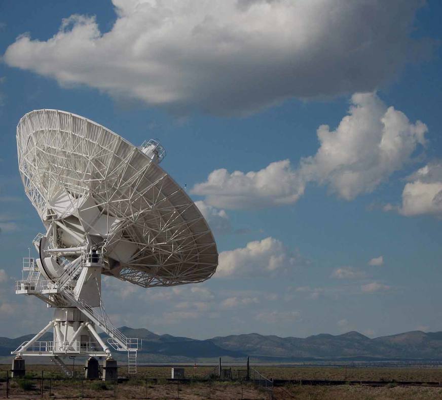
This brand-new course is the first of its kind for a UK college. It provides foundation skills in understanding geospatial systems and their applications in a range of industries.
Among many things, geospatial skills are used to map data, navigate with GPS, monitor environmental changes, support urban planning, and manage disaster risks.
Immerse yourself in our taster course
Discover how geospatial skills and technologies are used, why they’re hugely important, and how you can play your part in this exciting emerging industry!
Ready to start something new and exciting?
Well, we’re waiting for you! Apply to our Geospatial Foundation Skills course now...
Shaun Yap
Geospatial Foundation Skills
"As part of the course, I worked with Sustrans on their mapping projects across Scotland. My role involved researching their projects, mapping them using software, and then presenting the results as finalized digital, web, and print maps."
What types of jobs might be open to someone with geospatial skills?
Role: Assist in creating and maintaining geospatial databases, digitising maps, and updating spatial data.
Skills Used: Basic GIS software proficiency, data management, and map creation.
Role: Gather geospatial data using GPS devices or mobile data collection apps for various projects, such as environmental studies or urban planning.
Skills Used: GPS use, data collection, and basic data entry.
Role: Support cartographers and GIS professionals in producing maps and spatial data visualisations.
Skills Used: Cartography principles, GIS software, and map design.
Role: Collect and analyse environmental data, such as water quality or pollution levels, and report findings to support environmental conservation efforts.
Skills Used: Field data collection, basic geospatial analysis, and environmental monitoring.
Role: Assist urban planners by gathering and organising spatial data, creating maps, and conducting basic analysis to support planning decisions.
Skills Used: Data management, GIS software, and urban planning basics.
Role: Optimise routes for transportation and delivery services using GIS tools to improve efficiency and reduce costs.
Skills Used: Route optimisation, GIS software, and data analysis.
Role: Help in planning and executing emergency response strategies by mapping risk areas and creating evacuation plans.
Skills Used: Spatial analysis, map creation, and emergency planning.
Role: Work with utility companies to map and maintain infrastructure like water, gas, and electric lines, ensuring accurate and up-to-date records.
Skills Used: GIS software, data management, and infrastructure mapping.
Role: Assist in precision farming by collecting and analysing geospatial data related to crop health, soil conditions, and water usage.
Skills Used: GPS use, data collection, and basic GIS analysis.
Did you Know?
Scotland builds more satellites than anywhere outside the USA!

Space Microcredentials
Learn about the space industry and satellites with Fife College’s Space Microcredentials courses, designed in collaboration with City of Glasgow College and funded by the UK Space Agency.
Dive into three engaging units:
- Space Science and Sector
- Sustainable Satellite Manufacturing
- Electronics and Eco Design
Each unit, representing about 10 hours of learning, offers a deep dive into critical aspects of space technology and eco-friendly innovations in satellite development. These free, fully online courses are perfect for anyone passionate about the space industry and eager to explore the frontiers of space and technology. Enrol now and propel your interest to new heights!
Fill out the form below to receive your enrolment information.